
Document the roof before choosing the scope
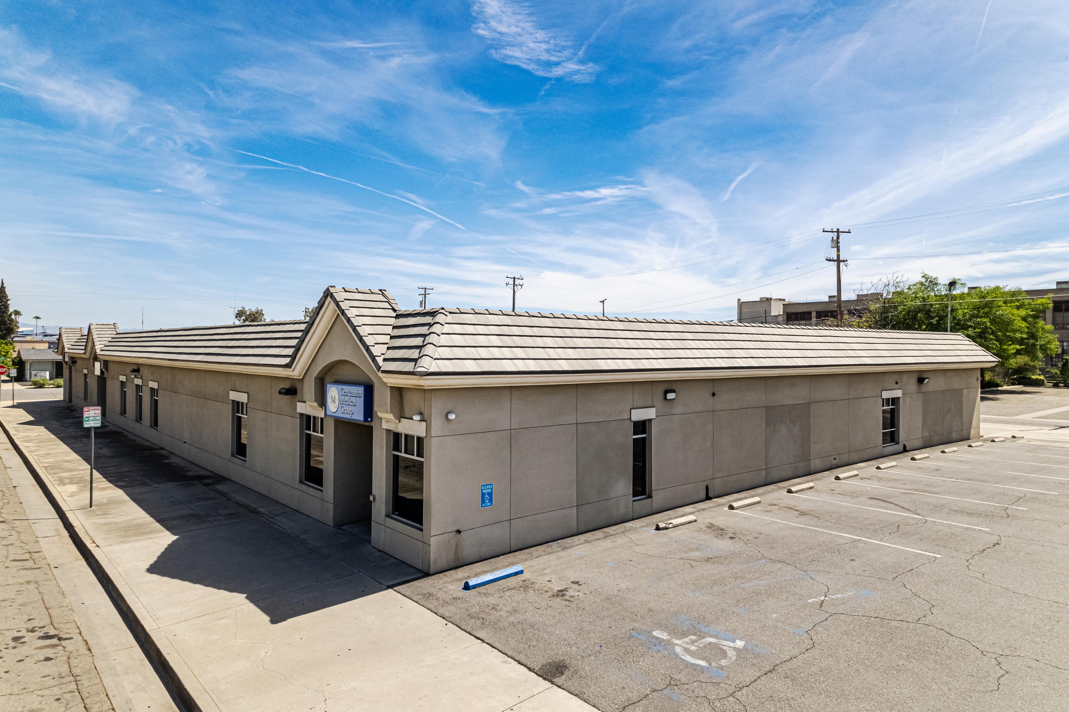
Picture a distribution center off the I-20 corridor with three or four acres of flat membrane on top. Inspecting that by foot is a half-day job that grinds footprints and scuffs across a roof that did not need the traffic and even then the inspector cannot see the one thing that drives the whole budget: water that has migrated under the membrane and soaked into the insulation where it stays hidden until the deck starts to rot. We do that survey from the air instead. One drone covers the entire roof in a fraction of the time photographs every drain seam curb and flashing in high resolution and an infrared pass maps the wet insulation a daylight camera could never reveal.
The warehouse and logistics roofs out toward Pearl and Flowood the manufacturing decks along the Highway 80 corridor and the long retail strips on Lakeland Drive all share one trait: vast repetitive awkward-to-cover surfaces where a person on foot is slow and easy to fool. A drone flies a programmed grid at a fixed altitude so coverage is even and nothing gets skipped because the inspector got tired or because one ponded area looked like every other patch from standing height. Just as important we are not committing a crew to a roof whose condition we have not confirmed yet. By the time anyone actually steps onto the membrane we already know where the soft decking and weak spots are.
This is the part that pays for the flight. Wet insulation and dry insulation store heat differently. Through a sunny Mississippi day the roof soaks up energy; once the sun drops dry areas shed that heat fast while saturated insulation holds it and keeps radiating it back. A radiometric thermal camera flown during that evening cool-down window paints the wet zones as bright patches against the cooler dry field. Those patches outline the exact footprint of the moisture even when the membrane on top looks flawless.
That one finding decides the most expensive question on the roof. A small isolated wet area means you cut it out swap the soaked insulation and patch the membrane. A thermal map showing water spread across a third of the roof means no amount of patching saves it and you are into a recover or a tear-off. We back up every thermal flag with a physical core cut before anyone writes a scope because the camera tells you where to look and the core tells you what is actually under the sheet. Skipping that step is how owners either overspend on an unnecessary tear-off or underspend on a patch that fails by the next wet season.
Flying a drone for a paid inspection is a commercial operation governed by the FAA's Part 107 rules. That means a certificated remote pilot an aircraft registered with the FAA and the flight kept within visual line of sight. Jackson airspace adds a complication: much of the metro sits under controlled airspace tied to Jackson-Medgar Wiley Evers International and the smaller Hawkins Field so a lot of sites need airspace authorization through the FAA's LAANC system before a legal launch. We handle that clearance as part of scheduling. On the ground we still cordon off the launch and recovery zone brief the people onsite and keep the aircraft clear of occupied parking and foot traffic.
Footage is only worth something if the right people can act on it. We turn each flight into a report keyed to GPS coordinates so every photo and every thermal anomaly ties back to a findable spot on the roof.
Keep exploring
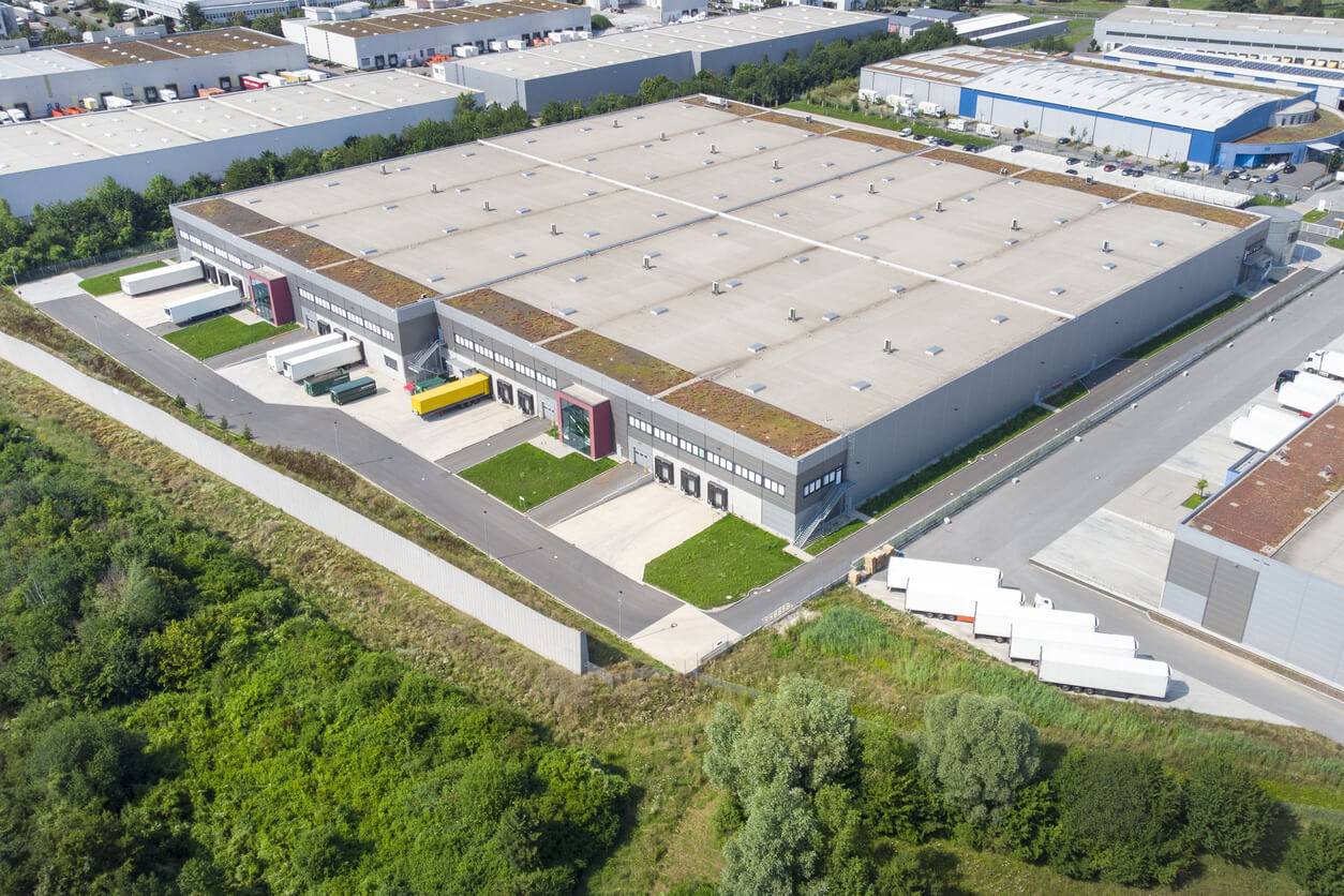
Industrial Roofing
Industrial Roofing for manufacturing facilities, warehouses, and industrial buildings throughout Jackson,
Multifamily Roofing
Roofing for apartment complexes, multifamily housing, and HOA-managed communities throughout Jackson,
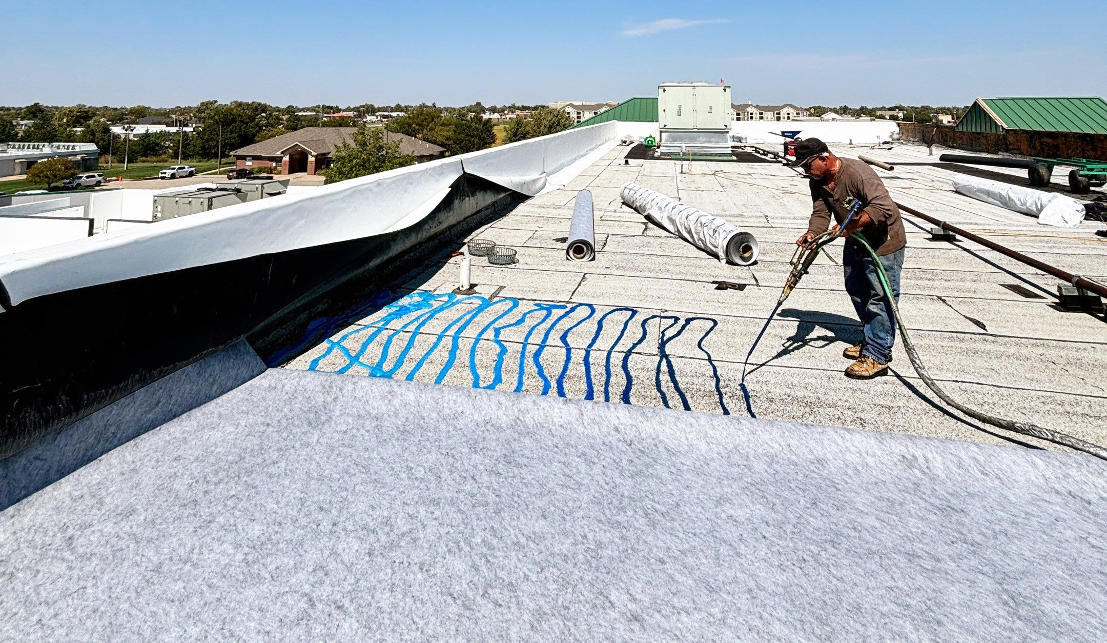
Roof Recover Overlay
Roof Recover and Overlay for commercial buildings across Jackson